What is Bayerninfo?
The Bavarian system for traffic information
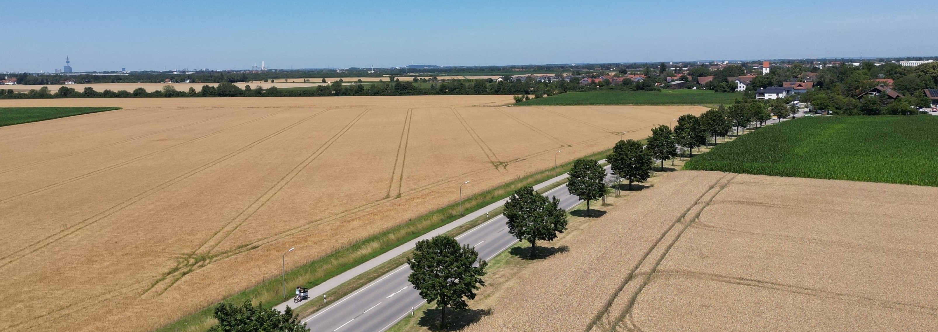
Already in the mid-90s the Bavarian Road Administration has launched the internet traffic information service at www.bayerninfo.de. The systems have been extended over the years, new data sources have been integrated and new partners acquired. Bayerninfo now collects an comprehensive set of important traffic information for all means of transport, offers internet services and provides data for third party applications.
How does BayernInfo work?
BayernInfo-Announcements
The short video about BayernInfo shows the process of a roadwork from the establishment to the traffic announcement and the work of the traffic newsroom.
Short video BayernInfo (GER)When you open the link to the video, content is loaded from Youtube and thereby your IP address is transmitted to YouTube. >Privacy Policy
The Strategic Traffic Management Plan 2025.
Bayerninfo as a part of the overall Traffic Management Strategy
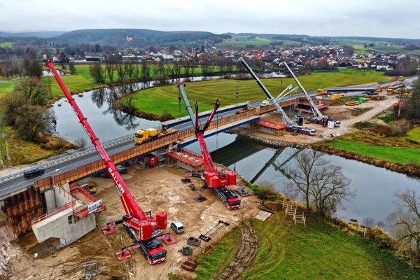
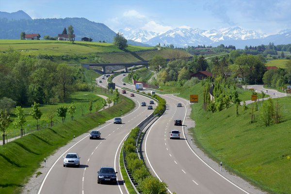
The Bavarian State Ministry for Housing, Building and Transport has issued a Strategic Framework Plan for Traffic Management in May 2018 for the time until 2025. This plan covers measures for improved traffic analysis, new instruments for traffic control e.g. with improved traffic control systems, but also advanced traffic information systems like Bayerninfo. Also future topics like automated driving are covered. In the future, Bayerninfo will play an important role as a data supplier for automated vehicles. Projects in this field contain e.g. a direct communication between dynamic road signs or traffic lights with automated vehicles, but also direct collision warnings from road works trailers with approaching trucks.